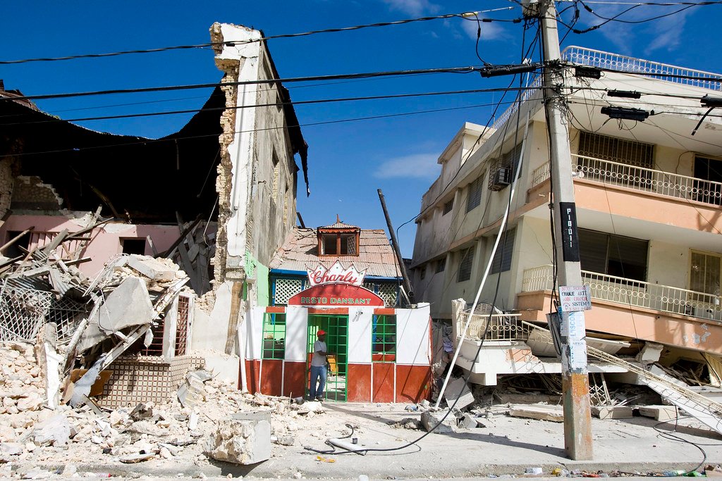
On Tuesday, a powerful magnitude-6.4 earthquake rippled through the waters off southern Indonesia, a region all too familiar with the devastating capabilities of nature’s subterranean shifts. According to the country’s foremost authority on natural phenomena, the Meteorology, Climatology, and Geophysics Agency, commonly known by its abbreviation BMKG, the tremor originated at a profound depth of 209 kilometers below the earth’s surface. This article delves into the implications of this event, the geological underpinnings of the region, and a brief history of seismic activities in Indonesia.
The Epicenter and Immediate Impact
An earthquake’s epicenter is the point on the earth’s surface vertically above the originating point (or the focus) of an earthquake. In this instance, the epicenter was located in the waters off the southern coast of Indonesia. Initial reports indicate minimal damage and no casualties, likely due to the earthquake’s depth. Deep earthquakes often have their energy absorbed more by the surrounding rock, reducing the shaking felt on the surface.
The depth of 209 kilometers, while substantial, is not unprecedented. The deeper the quake, the less likely it is to cause significant surface damage, though the energy released can still be felt over vast distances. Residents of nearby areas reported light shaking, but no major infrastructural damages or injuries were documented in the immediate aftermath.
The Geological Framework: Why Indonesia?
Indonesia sits within the Pacific “Ring of Fire”, an area characterized by frequent earthquakes and volcanic activities. The country is nestled between several tectonic plates, including the Pacific, Indo-Australian, and Eurasian plates, making it one of the most seismically active regions in the world.
Subduction zones, where one tectonic plate is forced under another, are particularly common in this area. As the plates move and interact, stresses build up, and when they’re released, earthquakes result. The depth and location of this recent tremor suggest it may have been caused by the movement within the Indo-Australian Plate, although further research would be necessary to confirm this.
Historical Perspective: Indonesia’s Seismic Past
Indonesia’s relationship with earthquakes is long and often sorrowful. One of the most devastating events in recent history was the 2004 magnitude-9.1 earthquake off the Sumatra coast, which triggered a massive tsunami. The catastrophe led to the death of over 230,000 people across several countries and became a poignant reminder of the region’s vulnerability.
While the recent magnitude-6.4 earthquake was of lower intensity and at a greater depth, it serves as a reminder of the need for preparedness and resilience in the face of natural disasters.
The Role of BMKG: Monitoring and Mitigation
The BMKG plays a pivotal role in monitoring seismic activities and ensuring the Indonesian population is informed and prepared. With state-of-the-art equipment and methodologies, they constantly track tectonic movements to predict possible aftershocks or related seismic events. Their swift announcement regarding the earthquake’s magnitude and depth is testament to their efficiency.
Moreover, in light of past tragedies, BMKG, along with other national and international bodies, has invested significantly in early warning systems and public education campaigns to reduce the potential human and infrastructural cost of such events.
Global Solidarity and Support
In times of significant natural disasters, Indonesia has often been the recipient of international support and solidarity. The global community recognizes the challenges posed by the country’s geographical location and has frequently stepped in with aid and expertise. This collective approach underscores the interconnectedness of our modern world and the shared responsibility we bear to help one another in times of crisis.
Looking Ahead: Preparedness and Resilience
While it’s impossible to prevent natural disasters, preparedness and education can significantly mitigate their impacts. With the looming threat of climate change exacerbating natural calamities, the importance of building resilient communities cannot be overstated.
For Indonesia, this means continued investment in infrastructure capable of withstanding earthquakes and tsunamis, public education campaigns to ensure everyone knows what to do during a disaster, and further research into the seismic activities that shape the nation.
Conclusion
The magnitude-6.4 earthquake off southern Indonesia serves as a gentle reminder of the powerful forces beneath our feet. While its depth spared the region from significant damages, it underscores the importance of vigilance, preparedness, and international collaboration in the face of the unpredictable wrath of nature. As we move forward, let it be with a commitment to safeguarding our communities and supporting one another in the ongoing dance with our ever-changing planet.
Read More:
