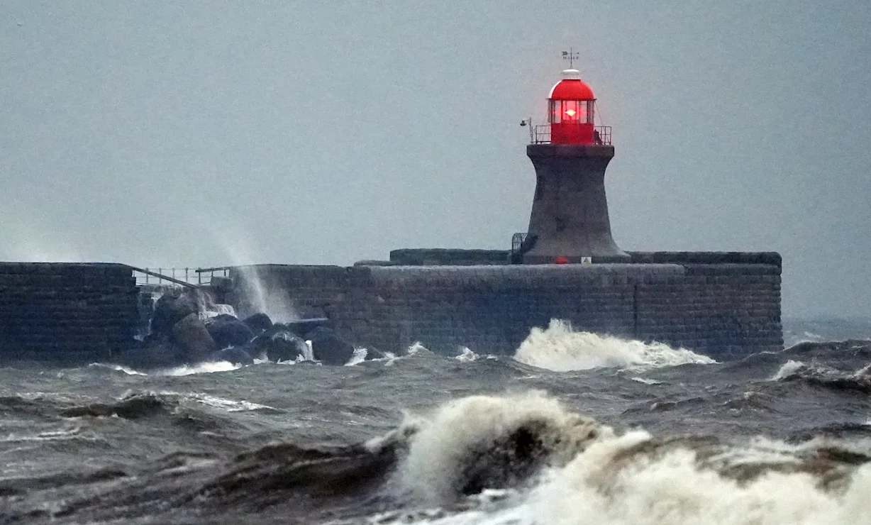
The UK is bracing for Storm Chandra after the Met Office named a deep area of low pressure expected to bring heavy rain, strong winds and hill snow from Monday night into Tuesday.
Forecasters say the biggest early impacts will be felt in the far southwest, with gusty winds affecting the Isles of Scilly, western Cornwall and southwest Wales before the system tracks north up the Irish Sea. Eastern parts of Northern Ireland are also expected to see unusually strong easterly winds during Tuesday, raising the risk of disruption.
The Met Office has issued an amber warning for wind covering eastern Northern Ireland, with widespread gusts of 60–70mph and up to 75mph possible in coastal areas. A separate yellow wind warning covers parts of Cornwall, southwestern Wales and northern Devon, where conditions remain vulnerable following recent storms and saturated ground.
Heavy rainfall is another major concern. An amber rain warning has been issued for parts of southwest England including south Devon, much of Dorset, southern Somerset and southeast Cornwall. Forecasters expect 30–50mm of rain in many areas, with totals potentially reaching 60–80mm over higher ground in south Dartmoor, increasing the risk of flooding and travel disruption.
Snow is also expected on the northern edge of the storm as the system collides with colder air. Yellow snow warnings have been issued for parts of Scotland and northern England, where 2–5cm could fall widely, and 10–20cm may accumulate above 500 metres, particularly in the Pennines, southern Scotland and the Highlands.
Met Office Chief Forecaster Paul Gundersen said: “Storm Chandra will bring a range of hazards to the UK through Monday night and Tuesday. Initially strong winds will impact the Isles of Scilly, western Cornwall and southwest Wales which are still vulnerable after Storm Goretti, gusts of 70 to 80mph are possible here. Heavy rain is an additional hazard as it falls on saturated ground in Dorset and southern parts of Devon, Somerset and Cornwall.
“As Chandra interacts with colder air further north snow becomes a hazard, with 10-20cm of snow possibly accumulating over higher ground in the Pennines, southern Scotland and the Highlands. With a complex spell of weather, its important people stay up to date with the forecast and any warnings in your area.”
The Met Office also warned that “Storm Chandra will bring persistent rain, heavy at times, later Monday and overnight before steadily clearing north-eastwards on Tuesday morning,” with flooding and disruption most likely on Tuesday morning as the heaviest rain moves through.